Scenic byways · public fire rings · one pan

Pull off, light up, cook something good.

Waypoint Grill follows America's scenic byways stop by stop: which state park and national forest grounds let you cook, what the fire rules usually look like, and one simple dish that suits each place.

The waypoint log

Pick a byway. Each waypoint is a real stop with its coordinates, what the ground allows, and the dish that suits it.

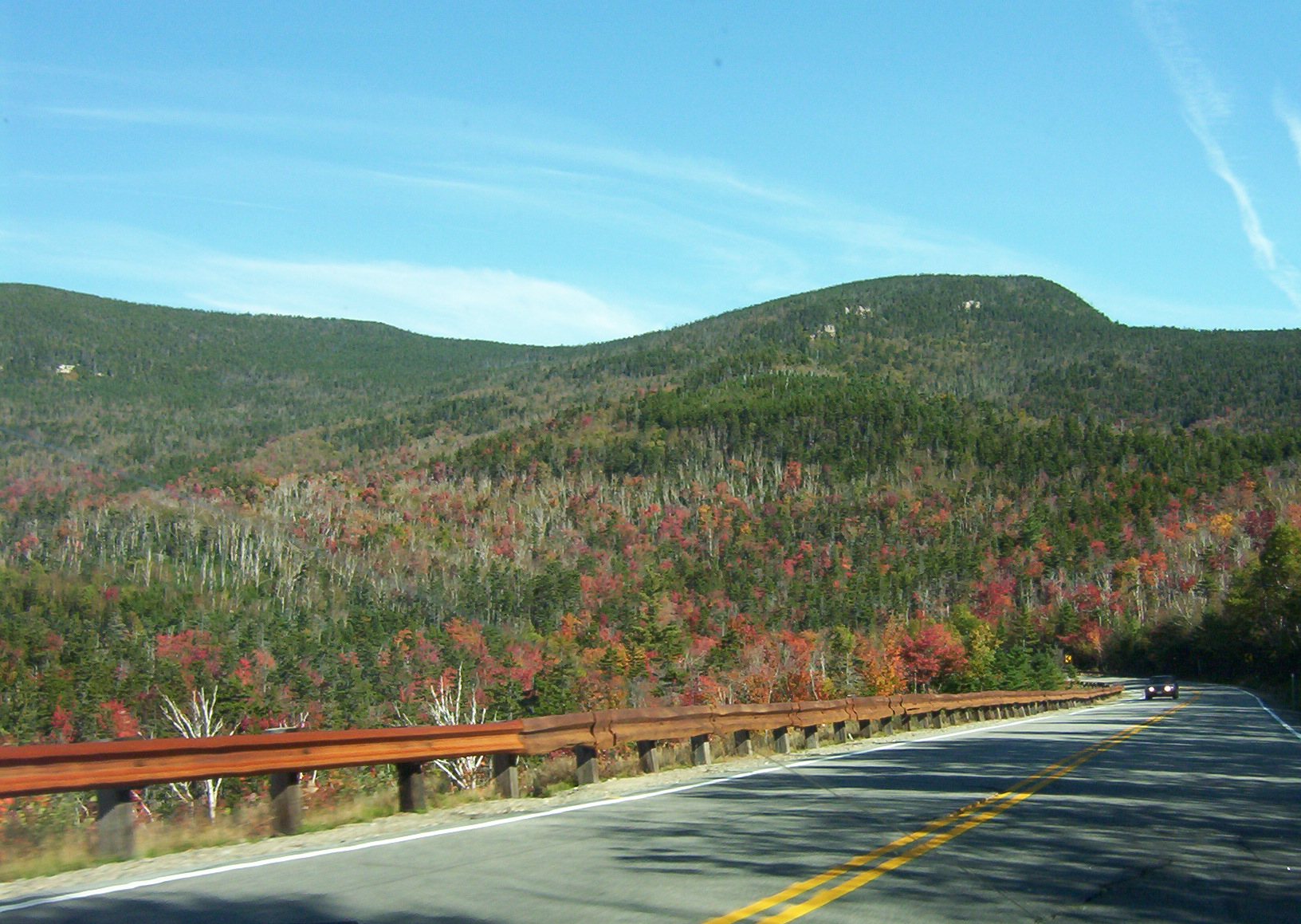
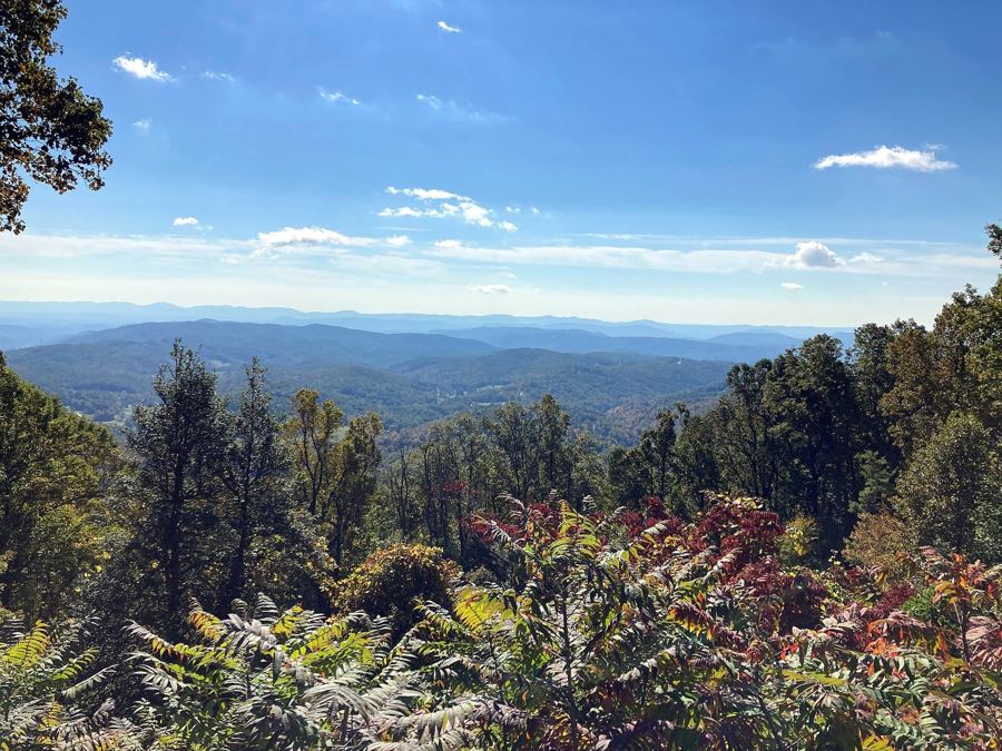
The Kancamagus Highway curving through autumn forest
iTheletterm1973 at English Wikipedia · Public domain
Kancamagus Highway, east to westWhite Mountain National Forest · picnic areas with grills along the Swift River
  1. 0144.00° N
    71.26° W

    Lower Falls, Swift River

    Ledges and pools beside a busy day-use area. Use the grills at the picnic sites, and get there early on autumn weekends.

    The dishSkillet potatoes with onion and smoked paprika
  2. 0244.00° N
    71.36° W

    Passaconaway valley

    Flat, open meadow country with campgrounds that have fire rings at each site. A good place to slow the drive down.

    The dishMaple-glazed carrots in foil on the coals
  3. 0344.00° N
    71.39° W

    Sabbaday Falls

    A short, easy walk to a narrow gorge. Cook at a campground in the morning and carry lunch up to the falls.

    The dishGrilled cheese made at breakfast, wrapped for the trail
  4. 0444.03° N
    71.50° W

    Kancamagus Pass overlook

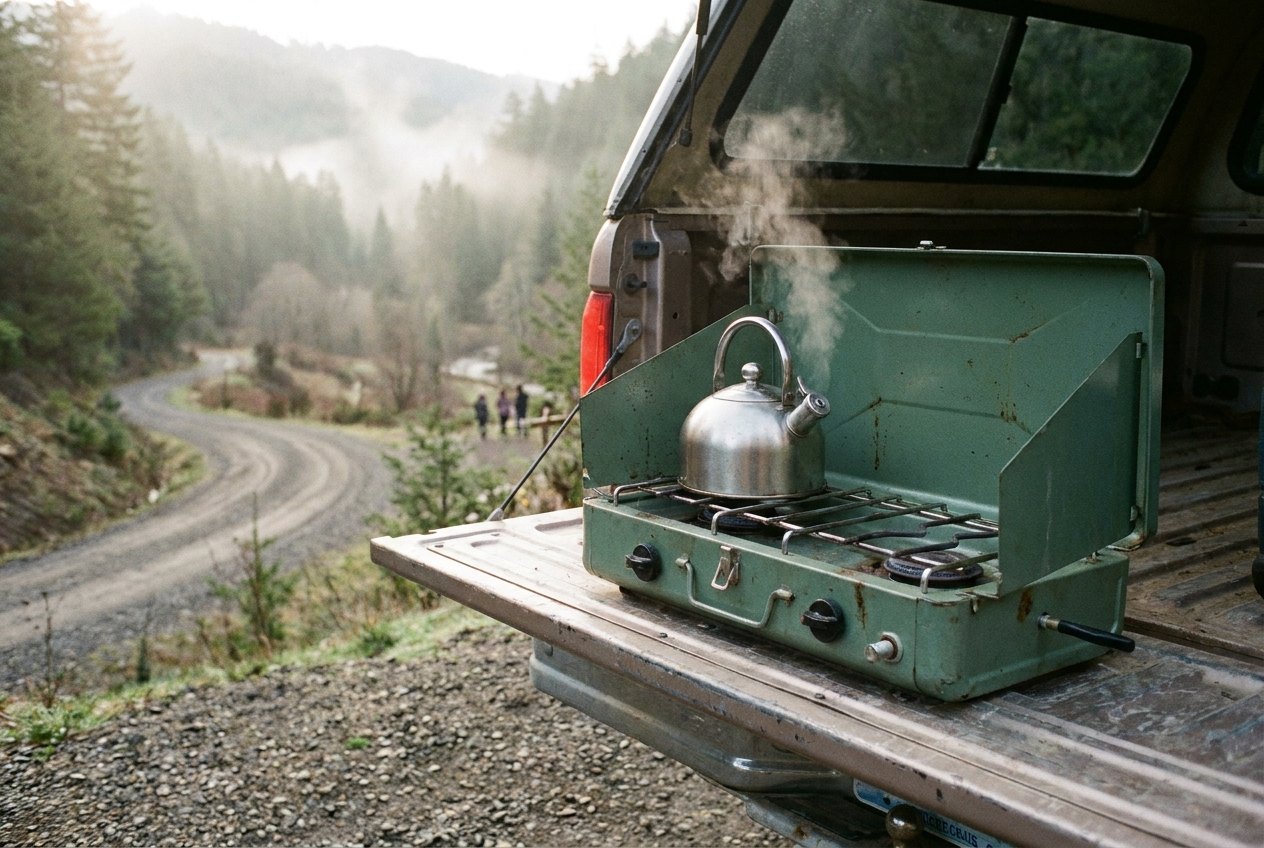
    The high point of the road. No fires at the overlooks; a stove on the tailgate for a hot drink is the usual way.

    The dishCocoa on the camp stove, nothing more
Read the whole Kancamagus log
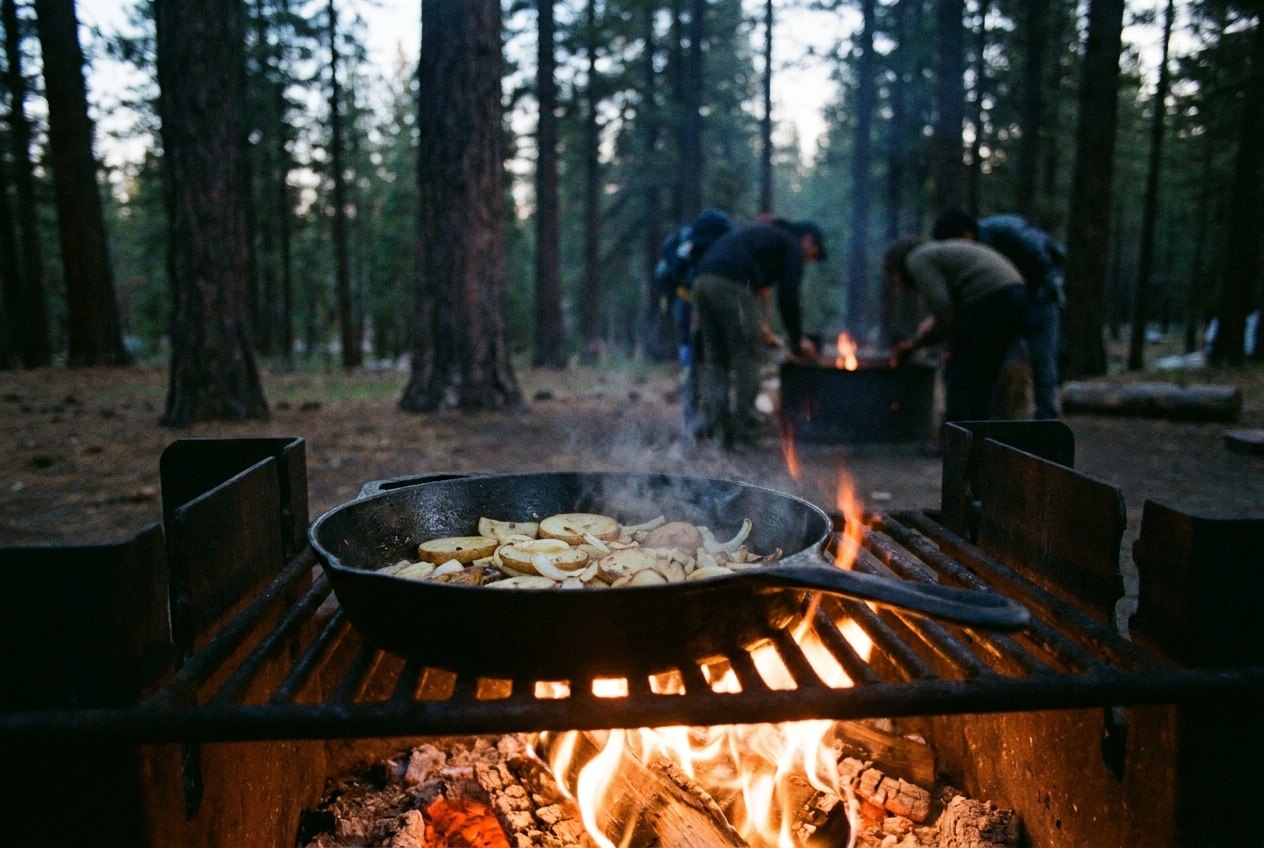
A cast-iron pan of potatoes on a campfire grate

Fire, in general terms

Rules change by season, by forest and sometimes by the week. These hold almost everywhere; the notice at the entrance has the final word.

  1. Use the ring or grill that's there. Building a new fire ring is rarely allowed.
  2. Read the board at the gate. A burn ban can rule out wood but still allow a gas stove.
  3. Buy firewood near where you burn it. Carrying it far can spread tree pests.
  4. Drown, stir, feel. Leave the ashes cold to the touch before you drive on.
  5. Overlooks are for looking. Pull-outs are usually stove-only, if anything.
The fire rules, in full

More byways on the log

Every route below is mapped the same way: coordinates first, then the stop, then the pan.

iMichael Barera · CC BY-SA 4.0
The Blue Ridge Parkway

Grills only where they're built in

The Parkway gives you hundreds of miles of mountain road and a short list of places to light a fire. Learn the list, pack the cooler, and cook at the picnic areas and campgrounds.

  • 37.44° N Peaks of Otter
  • 36.43° N Doughton Park
  • 36.14° N Price Lake
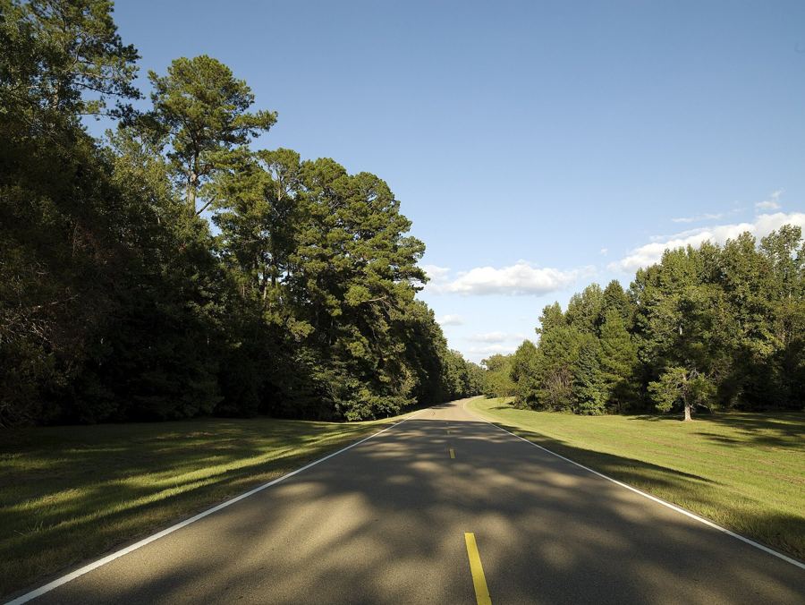
iCarol M. Highsmith (1946–) · Public domain
The Natchez Trace Parkway

Three free campgrounds and a Dutch oven

Four hundred and forty-four miles of slow parkway, three campgrounds with no fee, and an old footpath sunk deep into the loess. Bring a Dutch oven and a sack of cornmeal.

  • 31.56° N Natchez, southern end
  • 32.09° N Rocky Springs
  • 33.41° N Jeff Busby
iPahcal123 · CC BY-SA 4.0
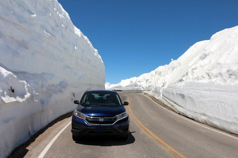
US 212, the Beartooth

Beartooth Highway above the tree line

US 212 climbs from Red Lodge to almost eleven thousand feet and drops to the edge of Yellowstone. The season is short, the wind is constant and bears set the kitchen rules.

  • 45.19° N Red Lodge
  • 44.97° N Beartooth Pass
  • 44.95° N Island Lake
iflamouroux · CC BY-SA 2.0
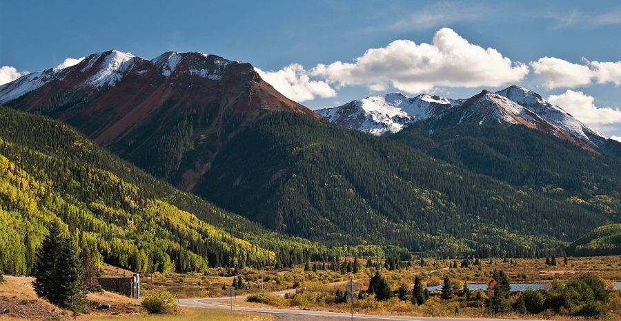
US 550, the Million Dollar

Steep road, few pull-outs, cook at the ends

Twenty-five miles of US 550 over Red Mountain Pass, carved into cliffs with few guardrails and almost nowhere to stop. The kitchen belongs in Ouray, Silverton and the lakes beyond.

  • 38.02° N Ouray
  • 37.90° N Red Mountain Pass
  • 37.81° N Silverton
iAcroterion · CC BY-SA 4.0
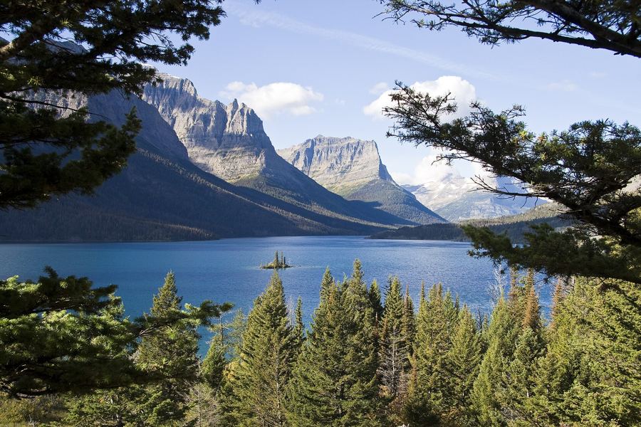
Going-to-the-Sun Road, Glacier

Going-to-the-Sun Road, both sides of the Divide

Fifty miles across the Continental Divide, open over the top for only a few months a year. Cook at the lakes on either side, keep the pass for looking, and treat every crumb as grizzly bait.

  • 48.53° N Apgar
  • 48.68° N Avalanche Creek
  • 48.70° N Logan Pass
iDXR · CC BY-SA 3.0
Utah Scenic Byway 12

Slickrock country, where the fire rules tighten

Utah 12 crosses some of the driest, emptiest country in the West, then climbs into cool forest on Boulder Mountain. Cook on a stove first, carry more water than seems sensible, and read every notice.

  • 37.74° N Red Canyon
  • 37.77° N Escalante
  • 37.79° N Calf Creek

How to read a waypoint

44.00° N 71.23° W is the stop in decimal degrees, rounded to about a kilometre: close enough to find the turn-off, never a pin for a campsite. Paste it into any map app before you lose signal. The number on the pin is the order the log drives it, and the dish beside it is what suits the stop, with what the ground allows: grill, fire ring, stove only or cold lunch.

A camp stove with a kettle on a pickup tailgate at a gravel pull-out

The tailgate kitchen

Pan
One 10-inch cast-iron skillet. It works on a grate, on coals and on a stove.
Flame
A two-burner stove for days when wood fires are off the table.
Cold
A cooler packed in layers, with the first night's dinner on top.
Canteen
More than you think. Fire buckets, washing up and drinking all add up.
Pack the kit list